
CGIs for Landscape and Visual Impact Assessments
Also known as Accurate Visual Representations (AVRs), and making up part of the wider Landscape and Visual Impact Assessment (LVIA), a verified view is a photomontage CGI crafted with a high level of precision, following specific methodology to ensure that every detail is accurate.
There are 4 “visualisation types”, each resulting in an increasing level of detail and accuracy which is explained in the table below.
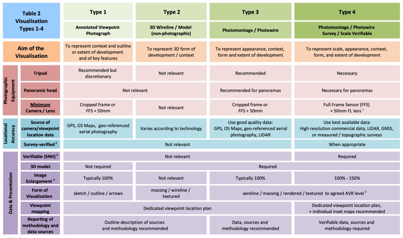
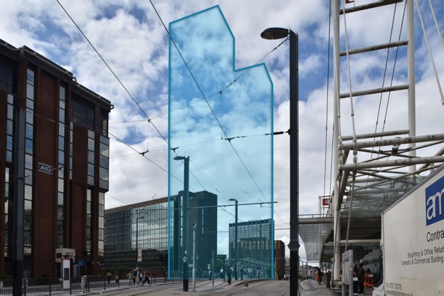
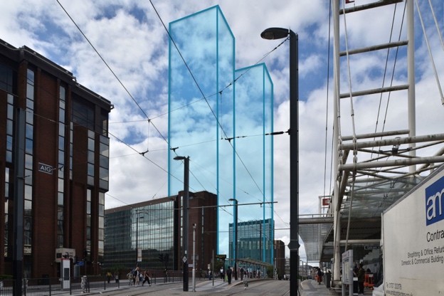
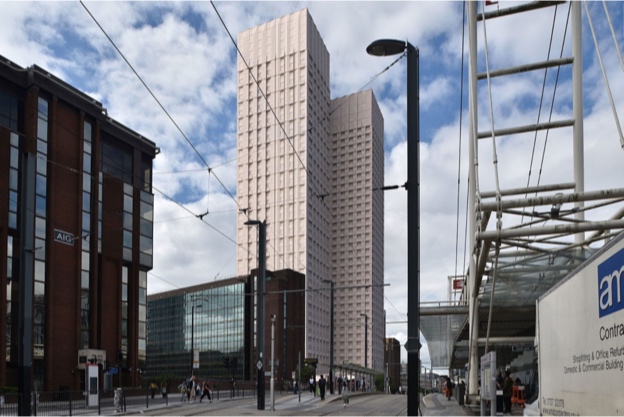
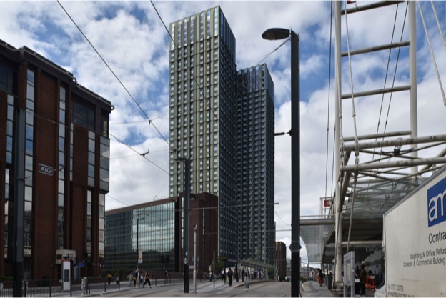
For large developments, which are going to have a considerable visual impact on the townscape and landscape, a higher level of accuracy is required to address the sensitivity of the plans proposed, so in this situation a type 4 visualisation should be used where possible.
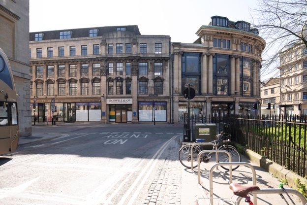
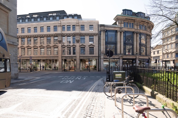
An example of where level 3&4 visualisation types were required was for the regeneration of the Oxford Boswells & Co department store, which included adding an extra floor. Due to this being in one of the most historically rich cities in the country, and the development being of a considerable scale, it was decided that the highest level of AVRs was necessary. Below is a before and after shot from our work on Oxford Boswells. This is a type 4 visualisation, so involved getting measurements from a surveyor.
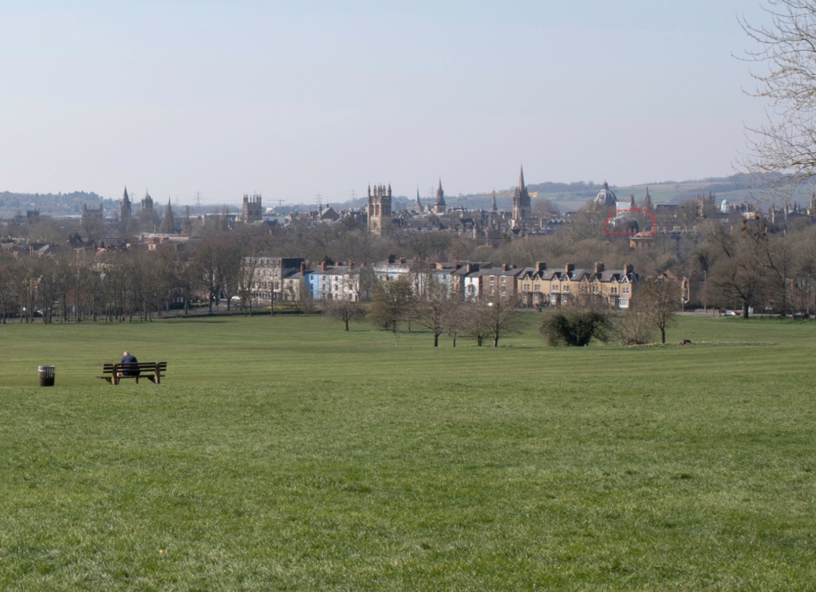
For Oxford Boswells, we also produced a selection of “View Cone” images. These are an extra requirement within Oxford’s planning process, which seek to analyse the visual impact of development proposals not just within their immediate surroundings, but on the town’s skyline from a distance. As such, we produced 10 images from the surrounding hills and from the Thames floodplain to show the extent to which the development was visible from the key locations. Where the development wasn’t visible, it was outlined as in the example below.
For each agreed viewpoint, photos are taken by an experienced architectural photographer with a DSLR camera. Spirit levels on the tripod head ensure the camera is levelled horizontally. Amongst other things we take note of camera location, focal length and aperture.
A surveyor will go to each viewpoint location, and record a range of reference points that enable a very high degree of accuracy for placing the model into the photograph. It is important that the surveyor uses the exact same location as the photographer. This is achieved either by the photographer and surveyor visiting the site together, or by the photographer leaving a mark on the ground for the surveyor to take his measurements from.
A virtual camera is set up using the photograph and the survey data to accurately align the proposed building model with the photograph.
Visualisation techniques and experienced judgment are employed by the visualiser to set up textures, lighting and manipulate the rendered image so that it appears as photo-realistic as possible. Photographic post-production techniques are then used to seamlessly montage the rendered image with the photography. Unlike in a marketing CGI, we will never add or remove people, birds, vehicles or any detail as it needs to be as accurate a representation as possible.
Verified views are an important aspect of a planning application. They ensure that the proposed development is 100% understood and as accurate as possible in planning consultations, which ultimately should help to drive quality architectural design that is of the benefit to the town and people.
Revere are experienced in delivering LVIAs for complex and large scale developments in the UK. We have an established methodology and great relationships with both surveying and photography partners.
If you have any questions about the work involved, or if you have a project in mind, please get in touch.